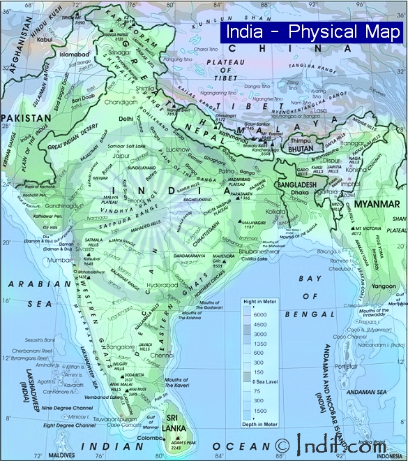
India is the seventh largest country in the world in terms of area. The mainland of India extends between 8°4' and 37°6' N latitude and 68°7' and 97°25' E longitude. The Tropic of Cancer 23°30' N divides India into almost two halves. The land frontier of the country is 15,200 km and the total length of the coastline is 7,517 kilometers. Indian peninsula tapers southward resulting in the division of the Indian Ocean into two water bodies - the Bay of Bengal and the Arabian Sea. It borders on China in the northeast. Other neighbors are Pakistan on the west, Nepal and Bhutan on the north, and Burma and Bangladesh on the east.
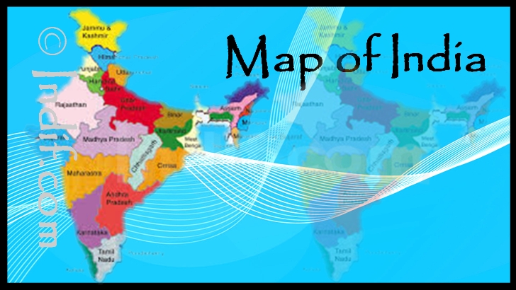
There are 29 states and 7 union territories in India. Delhi, the capital of India, also falls under this category.
Political Map of India
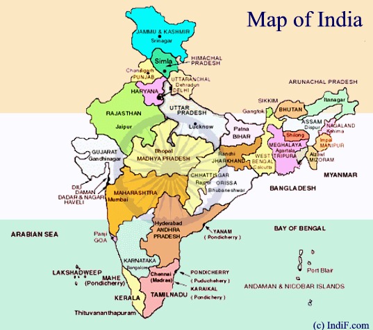
India is divided into six major zones: East India, West India, North India, South India, Northeast India and Central India.
Physical Map of India:
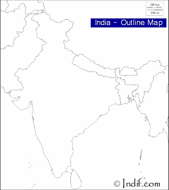
Outline Map of India:
You might also like:
Republic Day (26th January)- India's great national festival.
Independence Day (15th August)- National Holiday in India commemorating the nation's independence.
Gandhi Jayanti (2nd October)- The birth anniversary of the father of the nation, with reverence all over the country.

Children's Day (14th November)- Children's day in India is celebrated on Pandit Nehru's birthday.


